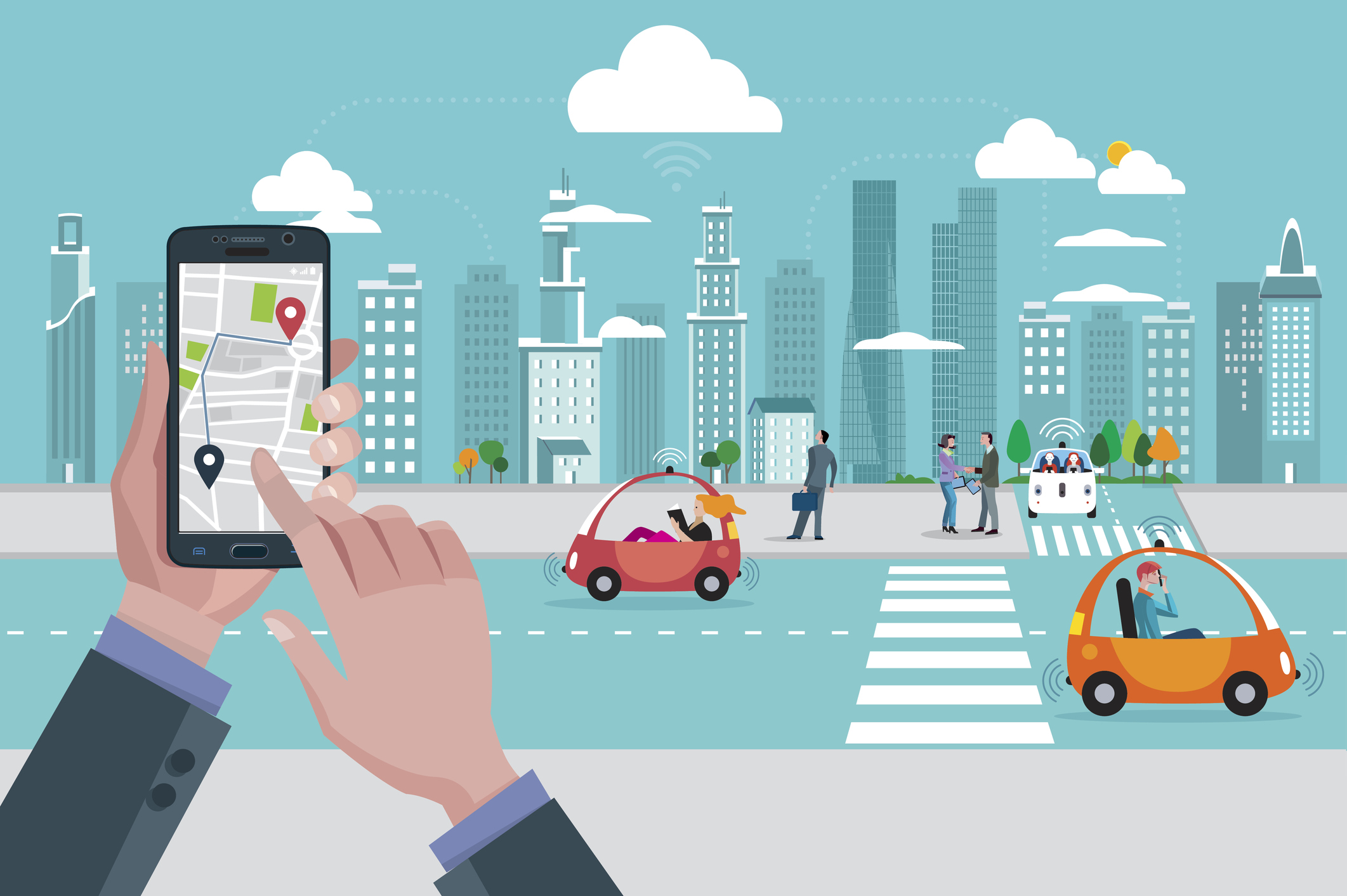
Wouldn’t it be great to be automatically notified about problems with your commute as you leave for work each day? Or be directed to a parking spot in a busy lot? Apps that detect users’ mode of transportation and offer tips will soon be commonplace, according to University of Sussex Wearable Technologies Lab researchers.
Soon smartphones will be able to predict road conditions and traffic levels as well as dole out route and parking recommendations. In addition, these apps will be able to determine the types of food and drink phone users consume will travelling.
“This dataset is truly unique in its scale, the richness of the sensor data it comprises and the quality of its annotations,” Professor Daniel Roggen, a Reader in Sensor Technology at the University of Sussex, commented. “Previous studies generally collected only GPS and motion data. Our study is much wider in scope: we collected all sensor modalities of smartphones, and we collected the data with phones placed simultaneously at four locations where people typically carry their phones such as the hand, backpack, handbag and pocket.
“This is extremely important to design robust machine learning algorithms. The variety of transport modes, the range of conditions measured and the sheer number of sensors and hours of data recorded is unprecedented.”
Roggen’s team compiled data using four mobile phones that researchers carried with them on their daily commutes over a seven-month span. Fifteen different sensors collected data and measured things such as movement and ambient pressure. The researchers then launched a global competition to determine the most accurate algorithms that could detect the following modes of transport: sitting still, walking, running, cycling, or taking the bus, car, train, or subway.
Chinese telecom company Huawei, Ritsumeikan University and Kyushu Institute of Technology in Japan, and Saints Cyril and Methodius University of Skopje in Macedonia supported the research. Seventeen teams took up the challenge. Two completed the task with more than 90 percent accuracy, eight had between 80 and 90 percent accuracy, and nine had between 50 and 80 percent accuracy.
JSI-Deep of the Jozef Stefan Institute in Slovenia took the top spot with a high score of 93.9 percent accuracy. The team used a combination of deep and classical machine learning models. Deep learning techniques offered a slight advantage to traditional learning approaches, according to the press release.
“By organizing a machine learning competition with this dataset we can share experiences in the scientific community and set a baseline for future work,” Roggen said. “Automatically recognizing modes of transportation is important to improve several mobile services – for example, to ensure video streaming quality despite entering in tunnels or subways, or to proactively display information about connection schedules or traffic conditions.
“We believe other researchers will be able to leverage this unique dataset for many innovative studies and novel mobile applications beyond smart-transportation, for example, to measure energy expenditure, detect social interaction and social isolation, or develop new low-power localization techniques and better mobility models for mobile communication research.”


