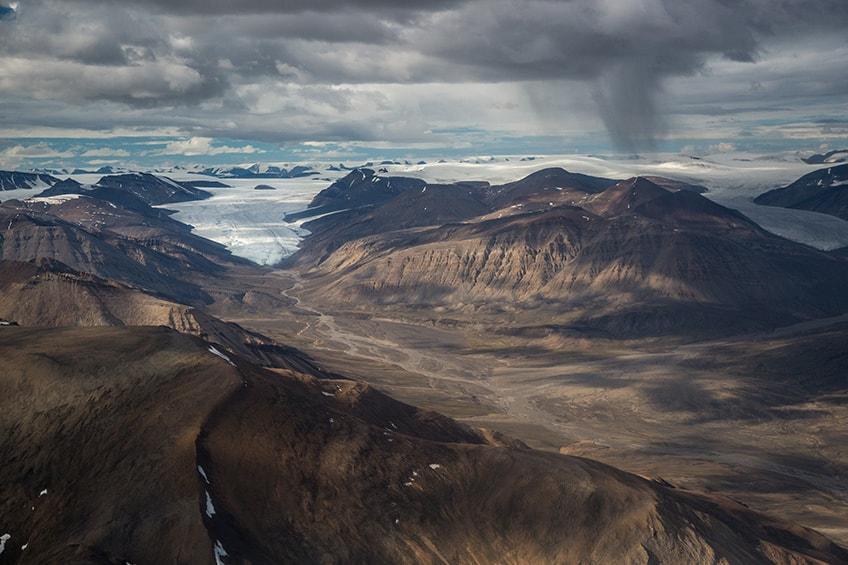
Less than 50 people visit Quttinirpaaq National Park on Ellesmere Island every year so few have seen its natural beauty in person. The park is located on the northernmost end of Nunavut about 800 kilometers from the North Pole. Quttinirpaaq means “top of the world” in Inuktitut, the language of the local indigenous people.
Technology is now allowing people who would normally not have access to the park to see its stunning vistas. Google Street View now features incredible footage of Quttinirpaaq. The Street View team walked on the park’s hiking trails and produced some beautiful scenes. The team mapped just 30 kilometers of the park, which is nearly 38,000 square kilometers, over five days. Street view users can see glaciers, mountains, rivers, and lakes.
Quttinirpaaq National Park is very remote, so few tourists have traveled there. They are required to have a permit and are dropped off at one of three landing sites. The highlands are covered in ice caps, and wildlife in the area include arctic wolves, hares, caribou, seals, walruses, and narwhals.
Emma Upton, manager of Quttinirpaaq National Park, and a colleague took the footage for Google. She told CBC News: “You’re getting intimate with a massive glacial ice cap, you’re on the edge of the glacier, the geology is phenomenal, and it just gives you a sense of the expanse of the park. The footage gives you a sense of being in the place, and I think that’s an incredible opportunity for people to experience because it is a place that is hard to get to.”
It’s definitely safer to see the park on a computer screen rather than in person. Parks Canada warns: “All visitors must be prepared to deal with extreme and rapidly changing weather, unpredictable river crossings, high winds, and travel in Polar Bear Country. You must be self-reliant and responsible for your own safety.”
Ellesmere Island is Canada’s third largest island. In 2016 the population was less than 200, many of whom were military personnel at Canadian Forces Station Alert.


